Lead: Hans Thodsen (AU, Denmark) Email: hath@bios.au.dk
Co-lead: Emmanuel Opuni-Frimpong (UENR, Ghana) Email: emmanuel.opuni-frimpong@uenr.edu.gh
Mary Antwi (UENR, Ghana) Email: mary.antwi@uenr.edu.gh
Austin Asare (PhD Student) Email: austin.asare@uenr.edu.gh
To determine anthropogenic stressors, we will map watershed-wide land use and vegetation changes using remote sensing techniques. This includes assessment of land-use patterns from historical data collection and remote sensing. Time series of land use will be derived from Landsat satellite images, dating back to the 1970s. The satellite images will be classified using GIS, and semi-automatic satellite imagery classification, such as SCP (Congedo, 2017) and YATSM (Holden, 2015). The land use maps based on remote sensing will serve as input to a watershed model, to estimate how changes in land use and vegetation cover may have influenced sediment and nutrient export to Lake Bosumtwi during the period covered by the land use map sequence. The SWAT watershed model developed for simulating hydrology, sediment and nutrient processes for data sparse regions, will be applied in this project. The model enables estimation of historical and future changes in hydrology and sediment and nutrient transport to the lake following changes in climate and land use within the watershed.
Main Deliverables
Ø Assess various land use responses to fisheries decline
Ø Determine land-use changes using remote sensing techniques
Ø Set up SWAT model for Lake Bosumtwi watershed
Task 4.1: Classify time series of land use based on Landsat satellite images.
Task 4.2: Evaluate the temporal trends in categories of land use variables based on classification in task 4.1, and estimate end-of-the-century land use within the watershed under future climate scenarios (jointly with information gained from task 5.5).
Task 4.3: Setup the SWAT model for the Lake Bosumtwi watershed.
Task 4.4: Evaluate the SWAT model for the Lake Bosumtwi watershed based on its representation of overall water balance and flow components (direct precipitation, surface runoff, interflow and groundwater flow); and sediment export by relating simulated sediment export to sedimentation rates derived from existing paleolimnological records.
Task 4.5: Run a series of end-of-century land use and climate scenarios in SWAT based on land use maps generated in task 4.1 and existing climate projections from the region, and evaluate impacts on hydrology, and sediment and nutrient export to Lake Bosumtwi (this will serve as input to WP2 (Task 2.3), when designing scenarios of future climate and sediment and nutrient loads).
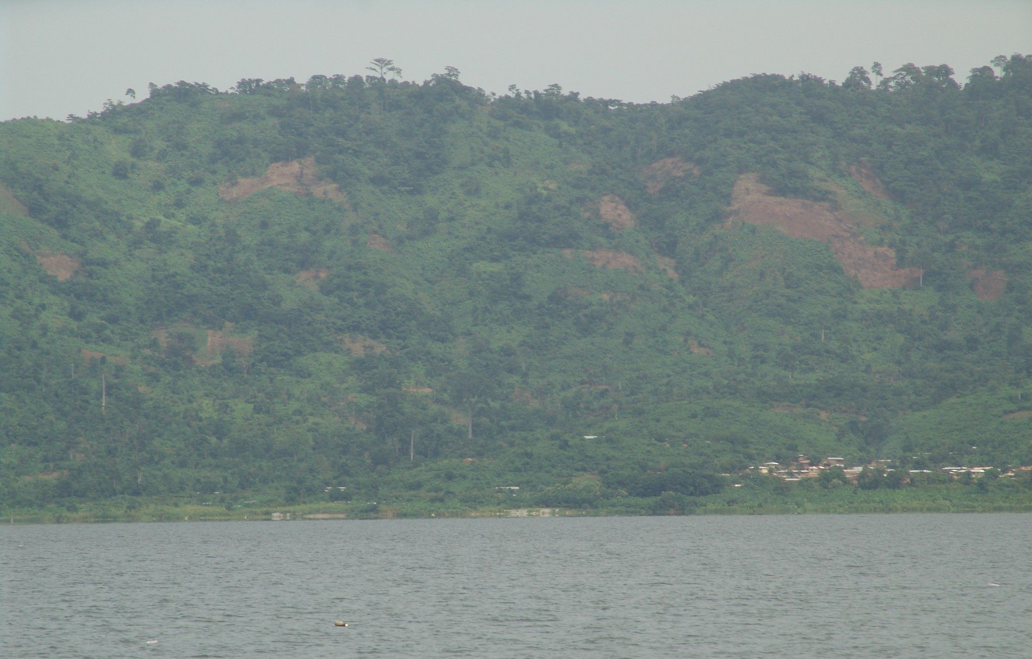
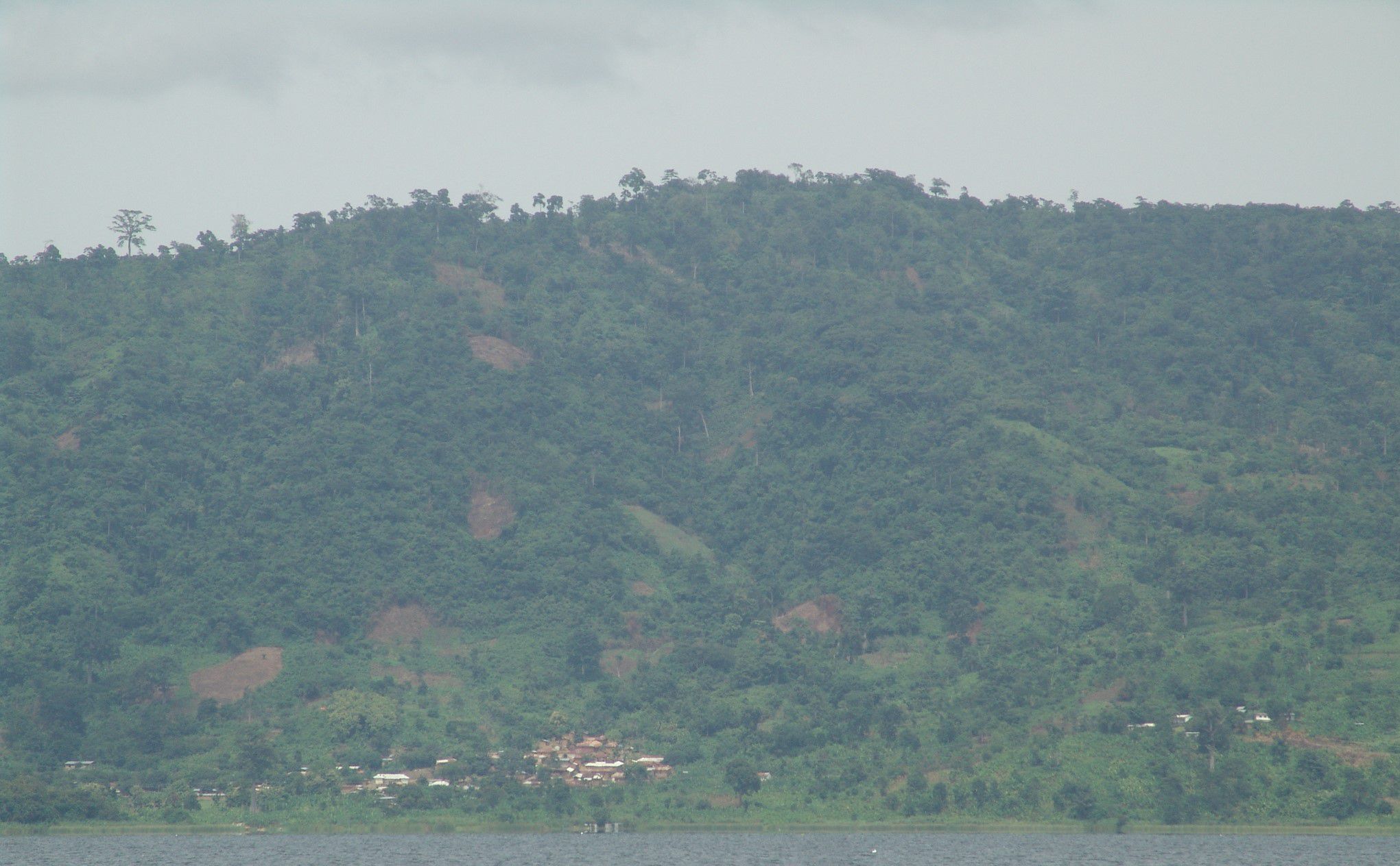
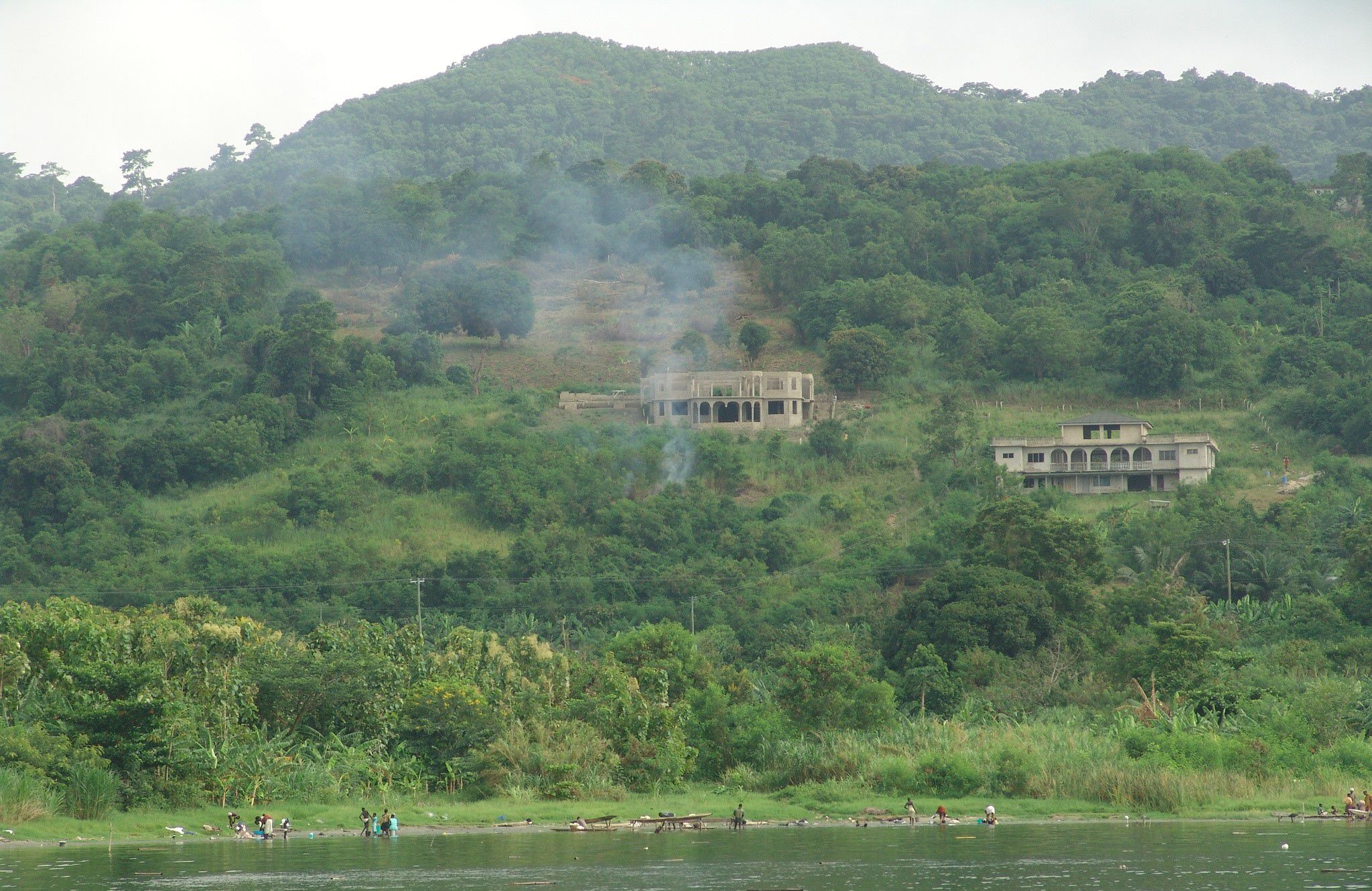
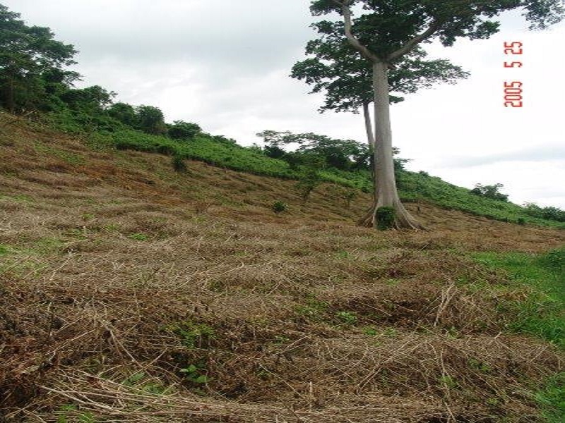
Photo Gallery